We talk a lot about National Parks, but what about State Parks? Valley of Fire State Park is Nevada’s first state park, and even though it’s a desert full of red rocks, petroglyphs, and gorgeous hikes now, it was once completely underwater and home to an entirely different array of wildlife to the lizards, snakes, and desert tortoises that call it home now. Valley of Fire State Park is a fairly small park next to Lake Mead, and while you can definitely spend more than one day here, it’s also more than possible to see it in less than 24 hours. This is the ultimate itinerary for seeing Valley of Fire State Park in one day. Let’s start at the West Entrance to the park…
(Do this itinerary backwards if you’re entering from the East Entrance)
The Basics
Valley of Fire State Park costs $10 USD per car per day. As budget travelers, this was the inspiration for our one day trip—we didn’t want to pay a second time! Valley of Fire is also extremely dog friendly and our Border Collie, Lassen, was able to join us on every trail we hiked that day. None of the trails are extremely hard, even the longer Fire Wave Trail. I hiked everything in trekking sandals just fine!
Stop 1: Atlatl Rock and Arch Rock
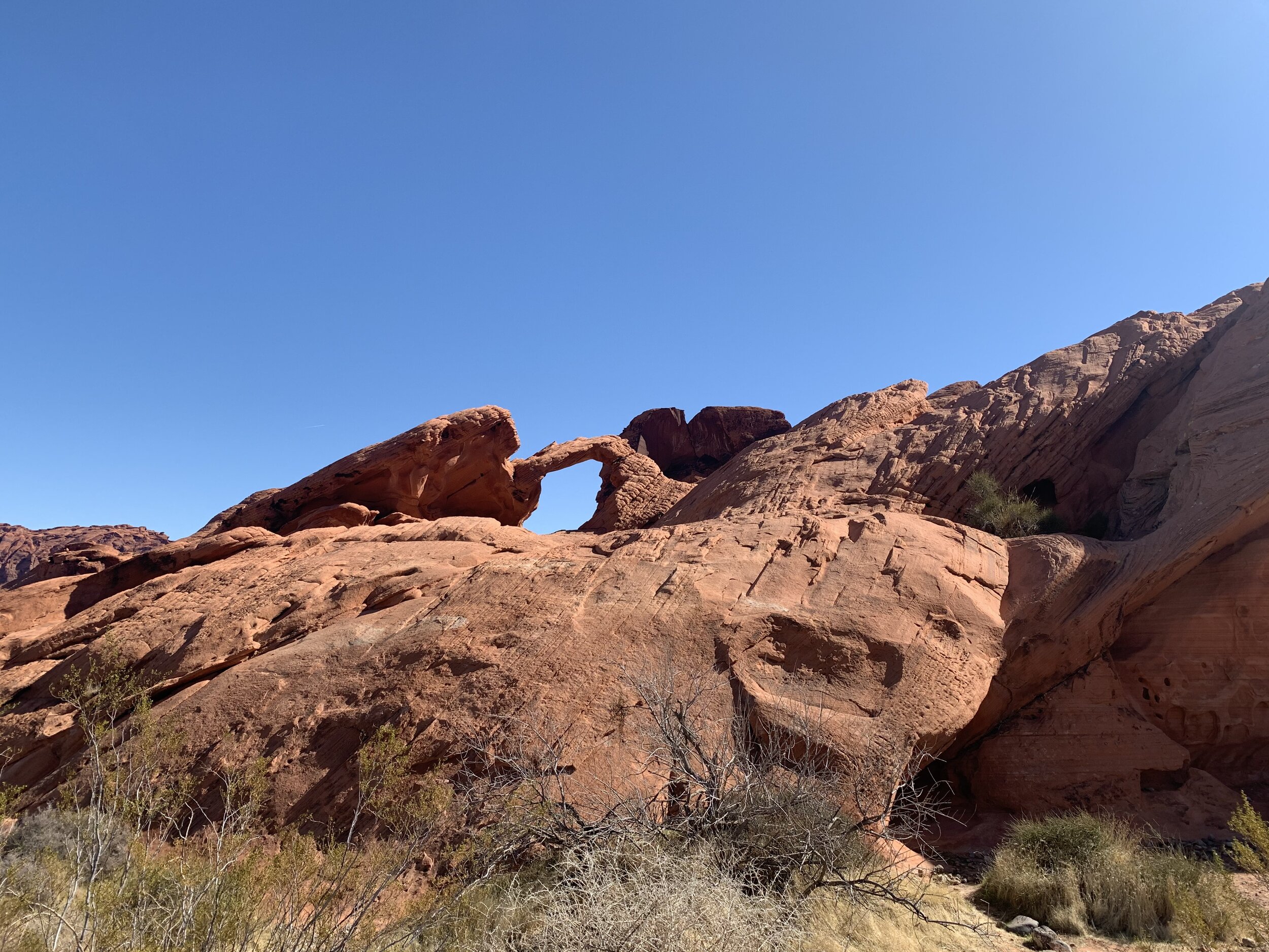
The first major stop you’ll want to make during your day trip to Valley of Fire is Atlatl Rock and Arch Rock. They’re really close to each other, and you’ll find them near Atlatl Campground. Atlatl Rock is one of the main petroglyph sites in the park, some of which are over 4,000 years old. Arch Rock is your classic arch, and the good news is, it’s right next to the road, so you won’t have to hike yet if you’re still waking up!
Stop 2: Visitor Center
This is the only place dogs aren’t allowed, but it’s a good stop for you to get the lay of the land, ask some rangers your questions about the park, see the museum, and hit up the gift shop!
Stop 3: White Domes Road
While this isn’t technically a stop, this is the next place you’ll go during your journey. This road is about 6 miles one way, and isn’t recommended for oversized vehicles (25 feet +). This is the view you see when you look up pictures of Valley of Fire. Our next two stops are on the White Domes Road, so keep your eye on the map so you don’t miss them! There are plenty of other things you can stop and do, but these next two hikes are a must-do as long as the weather is nice!
Stop 4: Fire Wave Trail
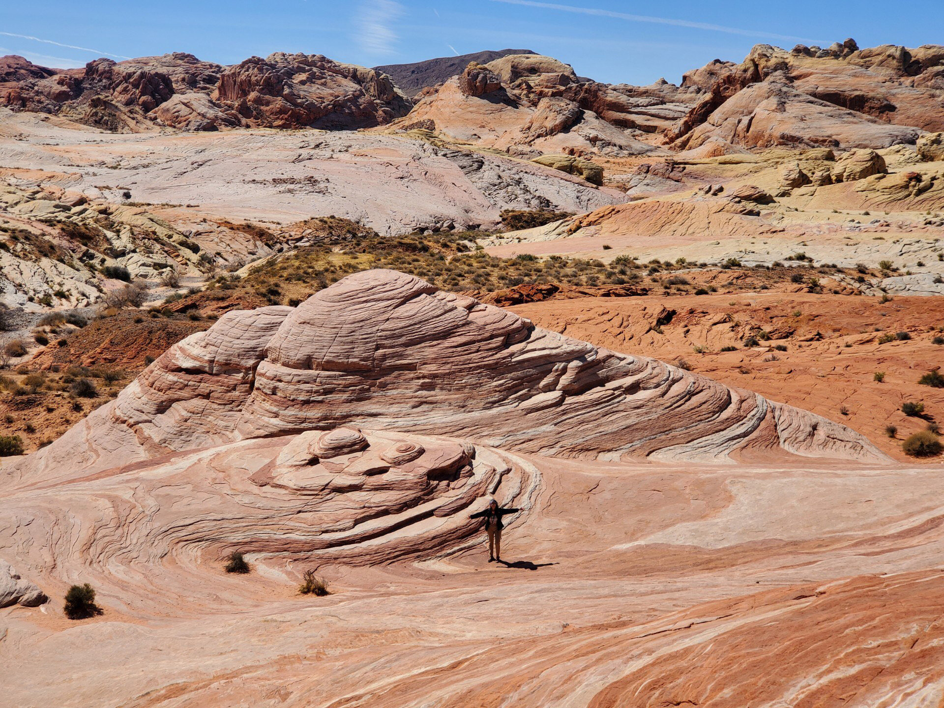
This 1.5 mile hike is rated easy-moderate, depending on your hiking style. I personally did this hike in trekking sandals and found it easy. This trail starts off sandy and then turns to a rock trail that you must follow cairn-style posts to hike. You’ll end at a beautiful rock formation (pictured below) that’s reminiscent of Arizona’s “The Wave,” which you need permits to hike.
Stop 5: White Domes Trail
This is one of my favorite trails in the southwest. This short hike is only about a mile long, and is rated easy-moderate. It is a bit hard to follow unless you know to look for cairns, but it features a slot canyon, colorful rocks, and a historic movie site.
Stop 6: Elephant Rock
Our last stop of the day was Elephant Rock, a trail that’s located at the East Entrance. Elephant Rock is exactly what it sounds like—a rock shaped like an elephant! It’s only about a half a mile hike, and it’s rated easy. Make sure you keep an eye out though! You might miss it!
Valley of Fire is a state park that needs to be on everyone’s list. With plenty of easy and dog friendly trails to hike, you can’t go wrong with spending a day at this underrated southwestern park.


